| Station Details | |
|---|---|
| Station Name | Wetaskiwin AGCM |
| Municipality | County of Wetaskiwin No. 10 |
| Legal Land Description | SE 20 46 24 W4 |
| Wildlife Management Unit | 246 |
| Latitude | 52.9804 |
| Longitude | -113.4442 |
| Elevation (m) | 774.00 |
| Owner | Agriculture and Irrigation |
| Operator | Agriculture and Irrigation |
| Commissioned On | 2007-04-03 |
| Decommissioned On | |
| Data Available From | 2005-06-04 |
| Data Available Till | 2026-06-07 |
| Identifiers | |
|---|---|
| Climate ID | 3017282 |
| World Meteorology Organization ID | 71895 |
| Transport Canada ID | PWT |
| Elements Reported | |
|---|---|
| Battery Voltage | |
| Battery Voltage Min | |
| Battery Voltage Max | |
| Instantaneous Air Temperature | |
| Average Air Temperature | |
| Minimum Air Temperature | |
| Maximum Air Temperature | |
| Instantaneous Relative Humidity | |
| Minimum Relative Humidity | |
| Maximum Relative Humidity | |
| Average Relative Humidity | |
| Incoming Solar Radiation | |
| Accumulated Precipitation in Gauge | |
| Average Wind Speed at 2 meter height | |
| Synoptic Wind Speed at 10 meter height | |
| Synoptic Wind Direction at 10 meter height | |
| Average Wind Speed at 10 meter height | |
| Average Wind Direction at 10 meter height | |
| Peak Wind Speed at 10 meter height | |
| Direction of peak wind speed at 10 meter height | |
| Time of Peak Wind Speed at 10 meter height | |
| Date | Subject | Note |
|---|---|---|
| April 17, 2019 | Boom direction change | AT/RT boom was facing northward but was orientated to face Westward. |
| June 2, 2021 | RMY moved from 2m to 10m | 10m tower installed, RMY moved. Met One installed at 2m. |
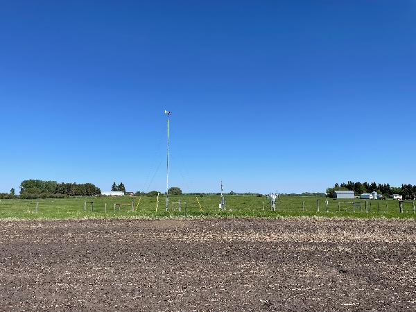
Wetaskiwin AGCM looking East on May 28, 2025
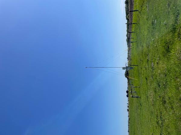
Wetaskiwin AGCM looking South on May 28, 2025
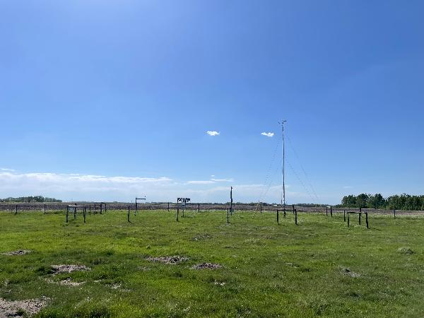
Wetaskiwin AGCM looking West on May 28, 2025
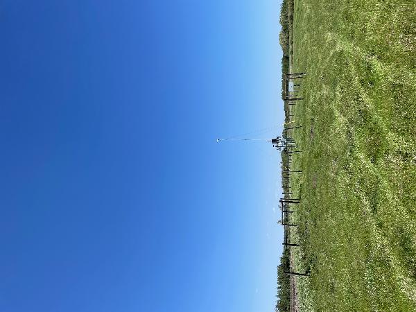
Wetaskiwin AGCM looking North on May 28, 2025
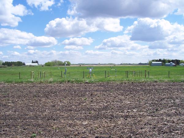
Wetaskiwin AGCM looking east on May 21, 2007
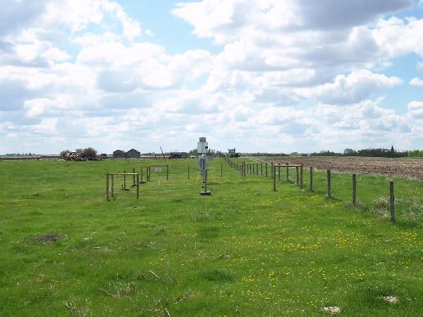
Wetaskiwin AGCM looking south on May 21, 2007
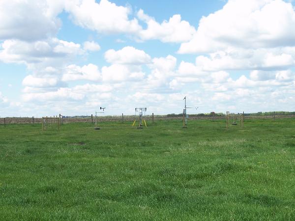
Wetaskiwin AGCM looking west on May 21, 2007
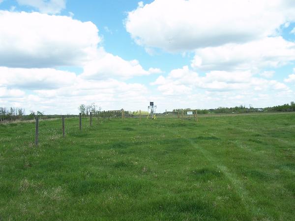
Wetaskiwin AGCM looking north on May 21, 2007